views
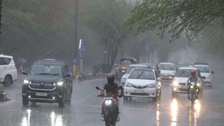
Central Maharashtra, Konkan, Goa and Karnataka are likely to see heavy rainfall over the next two-three days, according to an India Meteorological Department (IMD) report.
According to the IMD, monsoon trough is in near normal position at mean sea level and a cyclonic circulation lies over southwest Uttar Pradesh upto mid-tropospheric levels; another cyclonic circulation lies over West Rajasthan and adjoining Pakistan and a trough runs from West Rajasthan to Manipur in lower tropospheric levels. Under their influence, fairly widespread to widespread light/moderate rainfall accompanied with thunderstorm, lightning is very likely over Northwest and Central India during the next five days.
Isolated heavy rainfall is very likely over Jammu-Kashmir-Ladakh-Gilgit-Baltistan-Muzaffarabad and West Rajasthan on July 5; Himachal Pradesh, Haryana-Chandigarh on July 5 and 6; Uttarakhand, Uttar Pradesh, East Rajasthan, East Madhya Pradesh on July 5-9; Punjab West Madhya Pradesh during July 5-7; Vidarbha on July 8-9; Chhattisgarh on July 7-9.
Isolated very heavy rainfall is likely over Himachal Pradesh, West Madhya Pradesh on July 5; Uttarakhand, East Uttar Pradesh on July 5-7; Punjab, West Uttar Pradesh on July 5-6. Isolated extremely heavy rainfall is very likely over East Rajasthan on July 5.
Fairly widespread to widespread light to moderate rainfall accompanied with thunderstorm, lightning is very likely over East and Northeast India during the next five days. Isolated heavy rainfall is very likely over Andaman & Nicobar Islands on July 5; West Bengal and Sikkim, Bihar on July 7-9; Jharkhand on July 7; Odisha on July 6 and 8; Nagaland, Manipur, Mizoram & Tripura during July 5-9.
Isolated very heavy rainfall is likely over West Bengal and Sikkim on July 5, 6; Bihar on July 6; Odisha on July 7; Arunachal Pradesh, Assam and Meghalaya on July 6-9.
Isolated extremely heavy rainfall is very likely over Sub-Himalayan West Bengal and Sikkim, Bihar, Arunachal Pradesh, Assam and Meghalaya on July 5.
A cyclonic circulation lies over south Gujarat in lower tropospheric levels. The off-shore trough at mean sea level runs along south Gujarat-Kerala coasts. Under the influence of these systems; fairly widespread to widespread light to moderate rainfall accompanied with thunderstorm and lightning is very likely over Kerala and Mahe, Lakshadweep, Coastal Karnataka, Konkan and Goa, Gujarat State; scattered to fairly widespread light to moderate rainfall over Madhya Maharashtra, Marathwada Coastal Andhra Pradesh & Yanam and Interior Karnataka. Isolated to scattered light to moderate rainfall is likely over Tamil Nadu, Puducherry and Karaikal, Rayalaseema, Telangana during the next five days.
Heavy rainfall is very likely over Saurashtra and Kutch on July 5; Gujarat Region on July 6; Kerala and Mahe during July 5-8; Coastal Andhra Pradesh and Yanam on July 7-8; Telangana on July 8, 9; Coastal & South Interior Karnataka during July 7-9; North Interior Karnataka on July 8.


Comments
0 comment