views
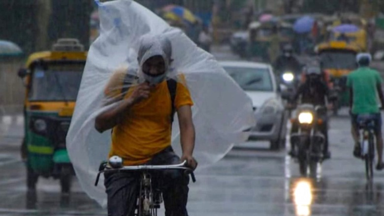
While the southwest Monsoon withdrew from parts of Rajasthan and Kutch on Tuesday, and the Indian Meteorological Department (IMD) had predicted a withdrawal phase starting Wednesday on Monday, rainfall caused by a low-pressure system has delayed further withdrawal.
A low-pressure area lies over northeast Madhya Pradesh and adjoining south Uttar Pradesh, which will likely to move west-northwestwards in the next two days, as per the IMD.
A trough is running from northwest Bay of Bengal to north Punjab across cyclonic circulation associated with the low-pressure area in lower tropospheric levels. Moreover, a western disturbance is affecting the Western Himalayan region and there is also high moisture feed from Arabian Sea over northwest India in lower tropospheric levels, which is likely to continue during next two days.
Under the influence of these systems, widespread light to moderate rainfall with isolated heavy rain with thunderstorms and lightning are very likely over Vidarbha, Chhattisgarh, Maharashtra and Marathwada on Thursday and Madhya Pradesh on Friday and Saturday. Isolated very heavy rainfall is also likely over west Madhya Pradesh on Thursday.
Widespread light to moderate rainfall with isolated heavy rain and thunderstorm and lightning is also very likely over Uttarakhand and Uttar Pradesh till September 26; Haryana on Thursday and east Rajasthan till Friday and moderate rainfall likely over Delhi on Thursday, as per IMD. Isolated very heavy rainfall also likely over East Rajasthan and East Uttar Pradesh on Thursday.
According to the weather office, India had received seven percent excess rains, but eight states, including the rice bowl states of Uttar Pradesh and Bihar, received deficient rainfall.
Read all the Latest News India and Breaking News here


Comments
0 comment