views
New Delhi: General Officer Commanding, Northern Command, Lieutenant General KT Parnaik on Tuesday denied Pakistan's allegations that Indian soldiers had attacked its posts and also revealed the reality of the Line of Control on Tuesday by releasing maps of the area where the conflict took place.
Pakistan had alleged that on January 6 Indian soldiers crossed the Line of Control, attacked its post and killed one soldier. Pakistan summoned Indian High Commissioner on January 7 to protest against the alleged intrusion and warned that it reserves the right to retaliate.
The India Army denied all the allegations levelled by Pakistan and produced evidence supporting the same. There is a village called Churanda in Uri sector near the Line of Control and there is a stream separating the two countries. The areas on the Pakistani side are known as Kalsi, Kalsiyanb, PT and SP.
According to the Indian Army Pakistan has been regularly violating the ceasefire in the area. When the Pakistan Army started firing on January 6, the Indian troops retaliated without crossing the LoC.
According to the Indian Army reports of bunker building by its soldiers in the area are not true. They point out that Uri sector is extremely difficult to patrol and there are several streams in the area which are used by the terrorists to infiltrate into India from the Pakistani side.
Army officials say that Pakistan is not interested in the ceasefire agreement and keeps on firing at Indian posts to help the infiltrators. As there are several villages on both sides of the LoC the situation became very critical.
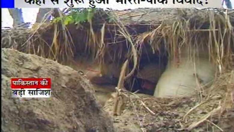
Pakistan has constructed concrete bunkers along the LoC while the Indian Army posts are made of stones. Indian soldiers have also dug the route from one bunker to another so they can move safely from one place to another. The Army also has a control room in one of the villages.
India claims that it never provoked Pakistan, which had already made a plan for the January 8 raid across the LoC in which two Indian soldiers were killed and then one of them was beheaded. The Army says that such an operation cannot be planned and executed within 24 hours and it would require a planning of about 10-15 days.
Google Map of the Line of Control in Uri Sector of Jammu & Kashmir
####


Comments
0 comment