views
A cyclonic disturbance has triggered widespread rains over parts of Northwest India just when the southwest monsoon was preparing to withdraw from the region after a delay.
Monsoon rains have remained unabated through the last four months without any ‘break’. The seasonal rains normally withdraw from Delhi and adjoining states of Punjab, Haryana by September 25, and Uttarakhand by September 28. However, this time the region has been hit by fresh spell of rain even as the four-month season draws to a close.
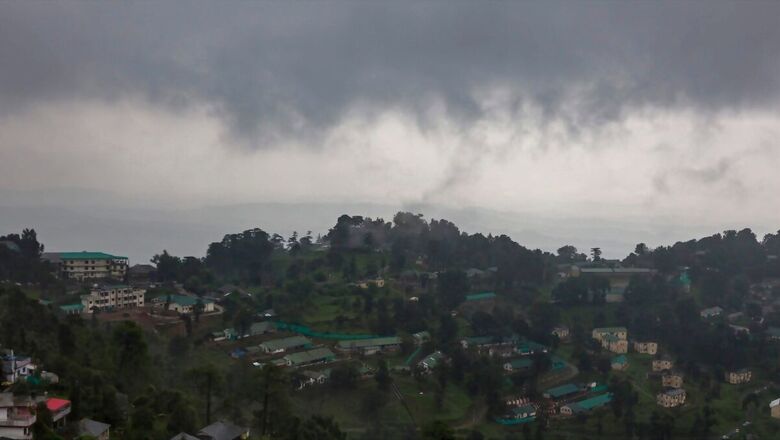
Many places in Uttarakhand and Himachal Pradesh have witnessed increased rain, and snowfall over the last two days, with Dhaulakuan (HP) recording extremely heavy rain of nearly 275 mm, while Haripur (Uttarakhand) saw 244 mm rainfall on Wednesday, decreasing in intensity thereafter.
MeT’s latest forecast has warned of widespread rains to continue in Himachal Pradesh and Uttarakhand over the next two days. The rain has also picked up pace over Haryana and parts of Western Uttar Pradesh. This is worrying, as the farmers in the region are preparing to harvest their crops, which are likely to be damaged by the sudden rains.
WHAT CAUSED THIS HEAVY SPELL?
According to the India Meteorological Department (IMD), this fresh spell of rain was triggered by a cyclonic circulation over south Chhattisgarh which lies over north Madhya Maharashtra and is tilting slightly southwards. This is basically a disturbance in the atmosphere formed due to differences in temperature and air pressure, which eventually leads to cloudy weather and rain.
The system has triggered increased rains from Madhya Maharashtra to West Uttar Pradesh, Jharkhand, and Bihar. This is also because the trough associated with the cyclonic circulation runs over north Madhya Maharashtra to north Bangladesh across Vidarbha, Chhattisgarh, Jharkhand, and Gangetic West Bengal.
A similar system – another cyclonic circulation also lies over north-east Assam. The IMD has warned of heavy rains over north-eastern states where the temperatures have also dropped significantly.
DELAYED MONSOON
Monsoon has been taking longer-than-usual to withdraw from Northwest India over the years – a long-term trend confirmed by scientists. This year too, the India Meteorological Department (IMD) had indicated a delayed withdrawal, as it predicted excess rains in its monthly outlook for September on account of consecutive low-pressure systems forming in the Bay Of Bengal.
So far, monsoon has been nearly 6 per cent above normal over India, with excess rains over most of India, except the north-east.
This year, the monsoon began to withdraw from West Rajasthan and Kachchh on September 23 after a delay of almost a week. According to IMD, it’s likely to further withdraw from some more parts of Northwest India over the coming week, after the current rain spell ends.
As of Friday, the line of withdrawal of southwest monsoon passed through Firozpur, Sirsa, Churu, Ajmer, Mount Abu, Deesa, Surendranagar, Junagarh.
Meanwhile, widespread rains continue across Konkan-Goa and Madhya Pradesh. The monsoon usually withdraws from Mumbai by October 8, so there is still time for the seasonal rains to subside over the region.


Comments
0 comment